

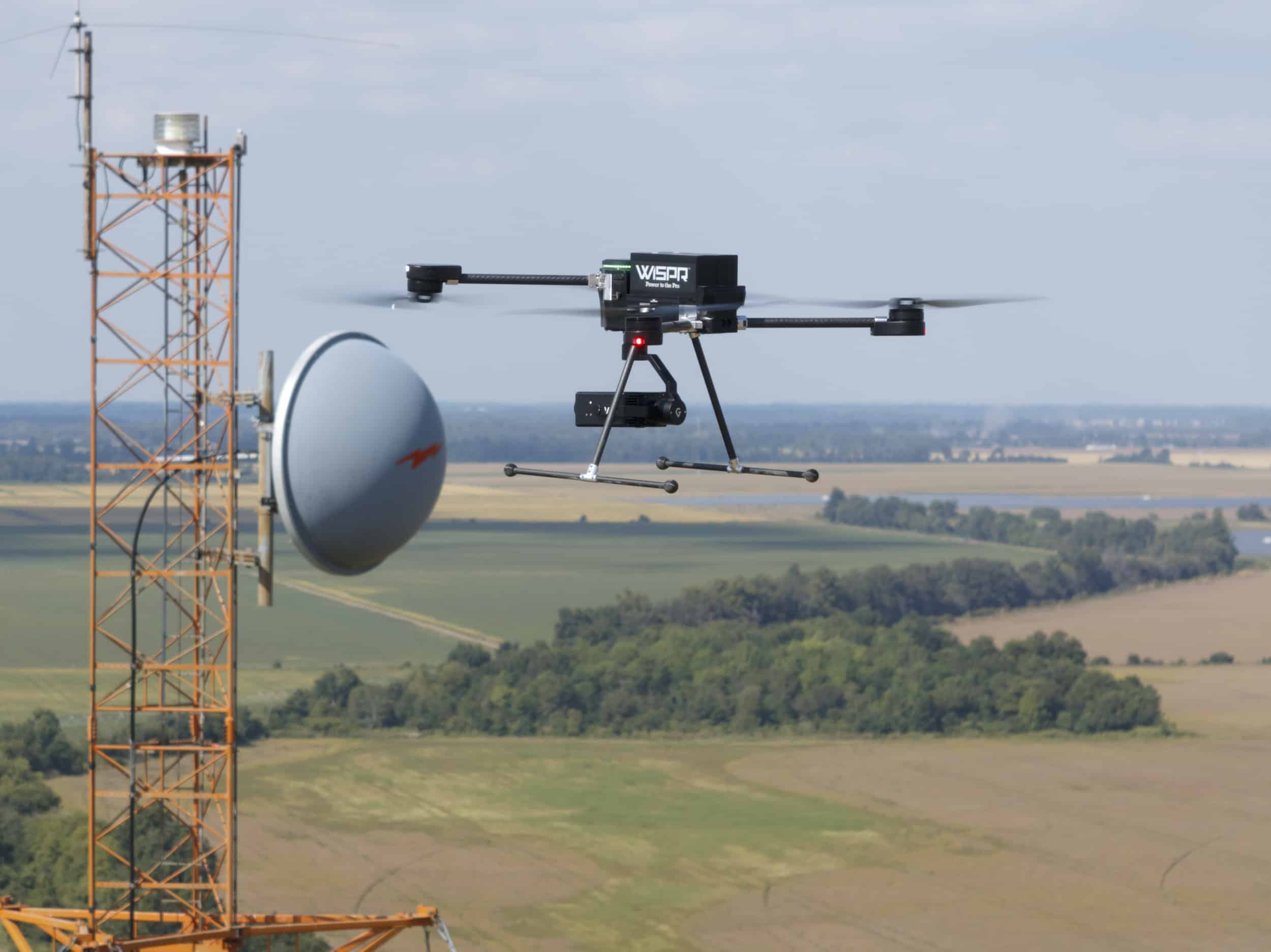
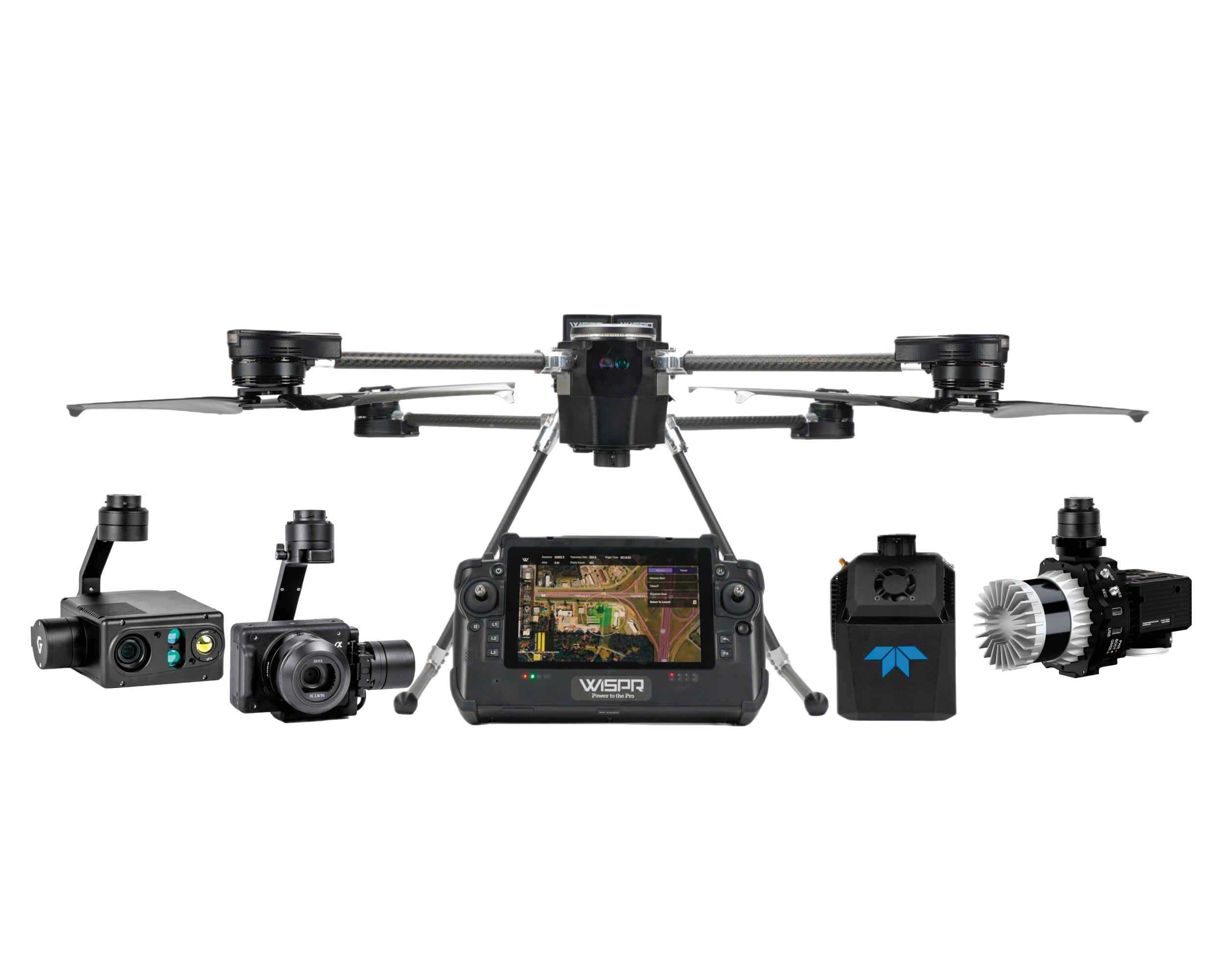
SkyScout 2+ is built for substations, transmission corridors, towers, and industrial sites. EMI-shielded avionics, 164 ft obstacle detection, downward LiDAR terrain-follow, and an active climate system keep you flying when the environment stops cooperating.
 American-Made
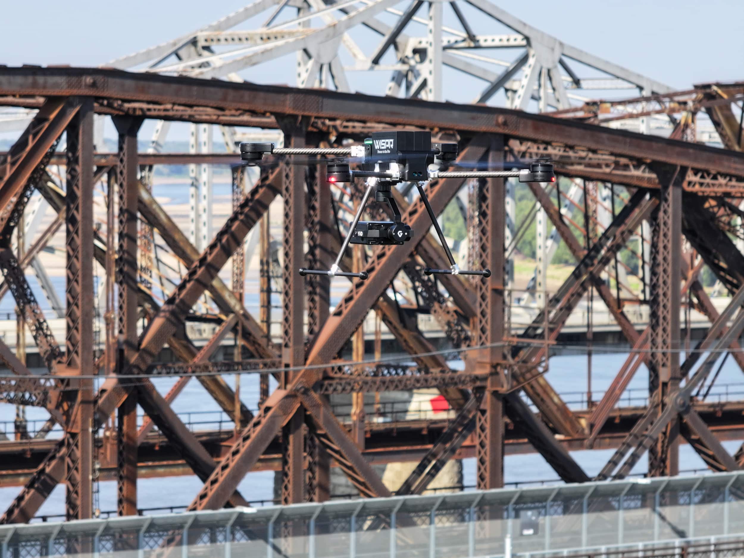
Inspection work is unforgiving. Signal gets weird near high-voltage lines. Heat cooks batteries. Terrain is never flat. SkyScout 2+ is engineered for those sites, with layered safety systems that keep the aircraft on the mission instead of on the ground.
SignalShield EMI protection hardens the flight controller and radio stack against the noise that substations, transmission corridors, and industrial plants generate. You get stable telemetry, clean video, and a drone that doesn't start drifting the second you get within arm's length of a high-voltage line.
PathGuard long-range LiDAR extends 164 ft in front and behind the aircraft. That's long enough to actually matter on a bridge, a cooling tower, or a 345 kV line. TerrainSense looks down so the drone holds altitude over slopes, berms, and levees where a barometer-only platform would drift.
TempGuard combines active fan regulation and passive heat transfer with real-time sensor feedback. Components stay in spec. Batteries stay in spec. Flight time stays close to rated, not 40% of rated. Teams flying across the Gulf in summer and the Upper Midwest in winter get one drone, not two.
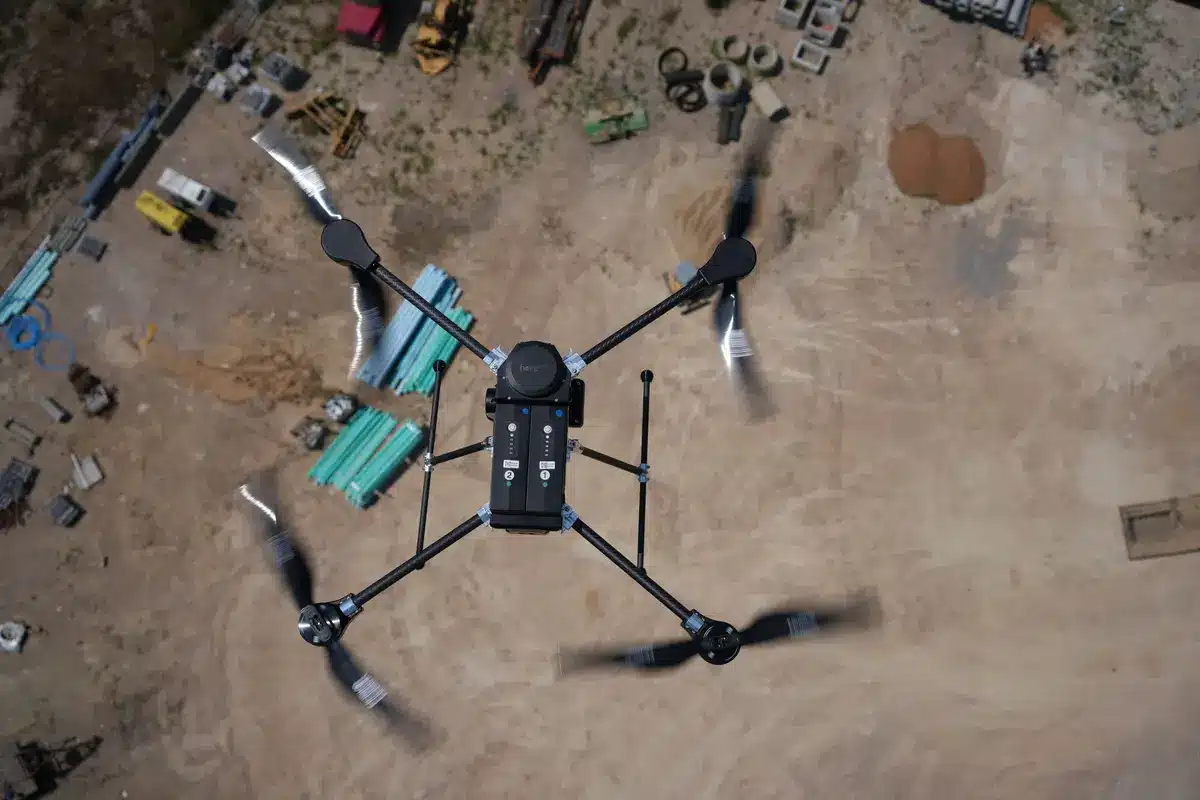
Inspection crews don't set up once a day. They set up four, five, six times. SkyScout 2+ lives in a rugged, airline-friendly transit case at 37 lbs fully loaded, and deploys in under three minutes. Hot-swap batteries keep the crew flying instead of waiting on a charger at the truck.
SkyScout 2+ is on the Blue UAS Cleared and AUVSI Green UAS Approved Lists. That matters when you're flying for a utility customer, a federal contract, or a pipeline operator tightening supply-chain standards.
See Compliance Details
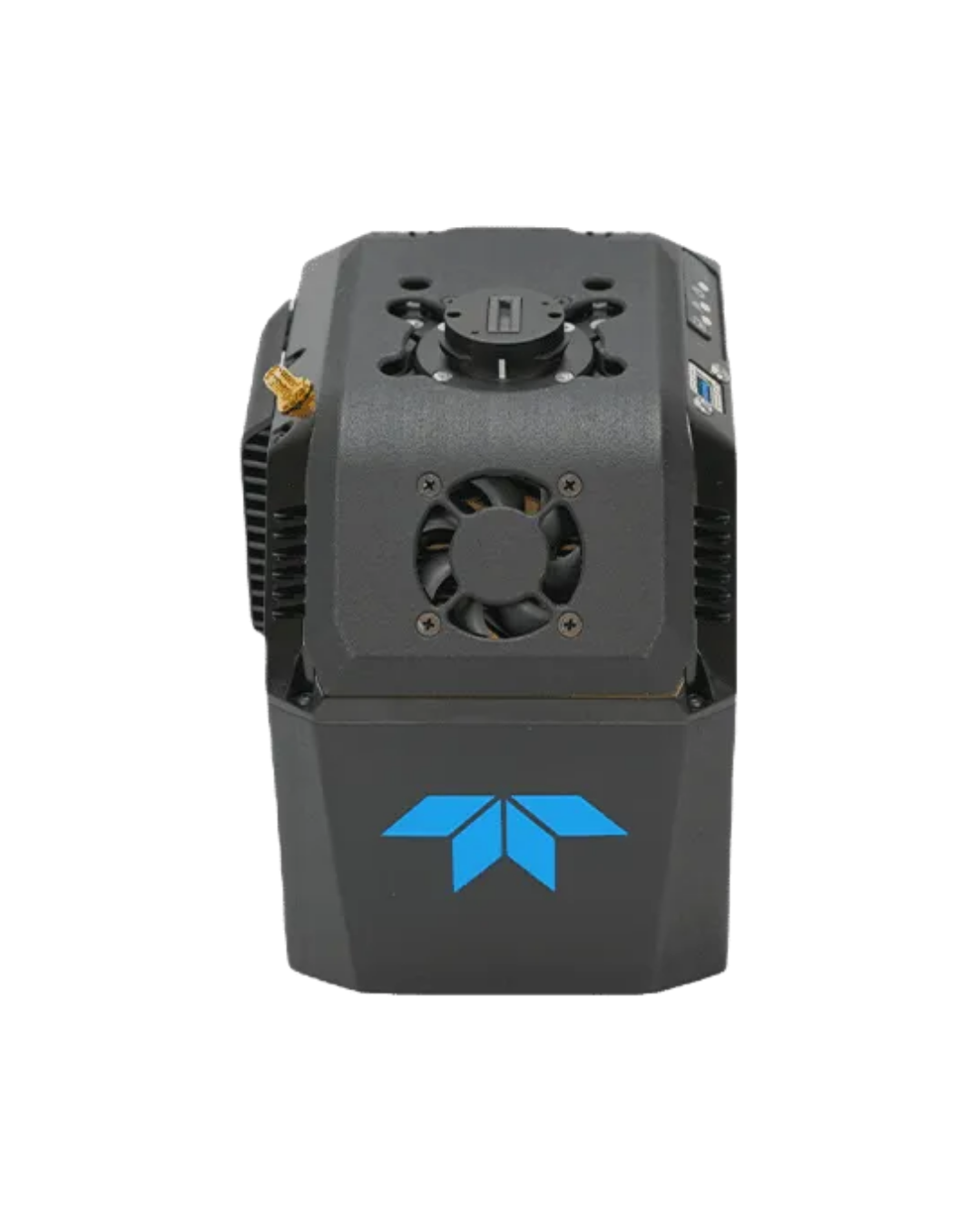
Capture detailed 3D data for infrastructure inspections, asset documentation, and condition assessments.
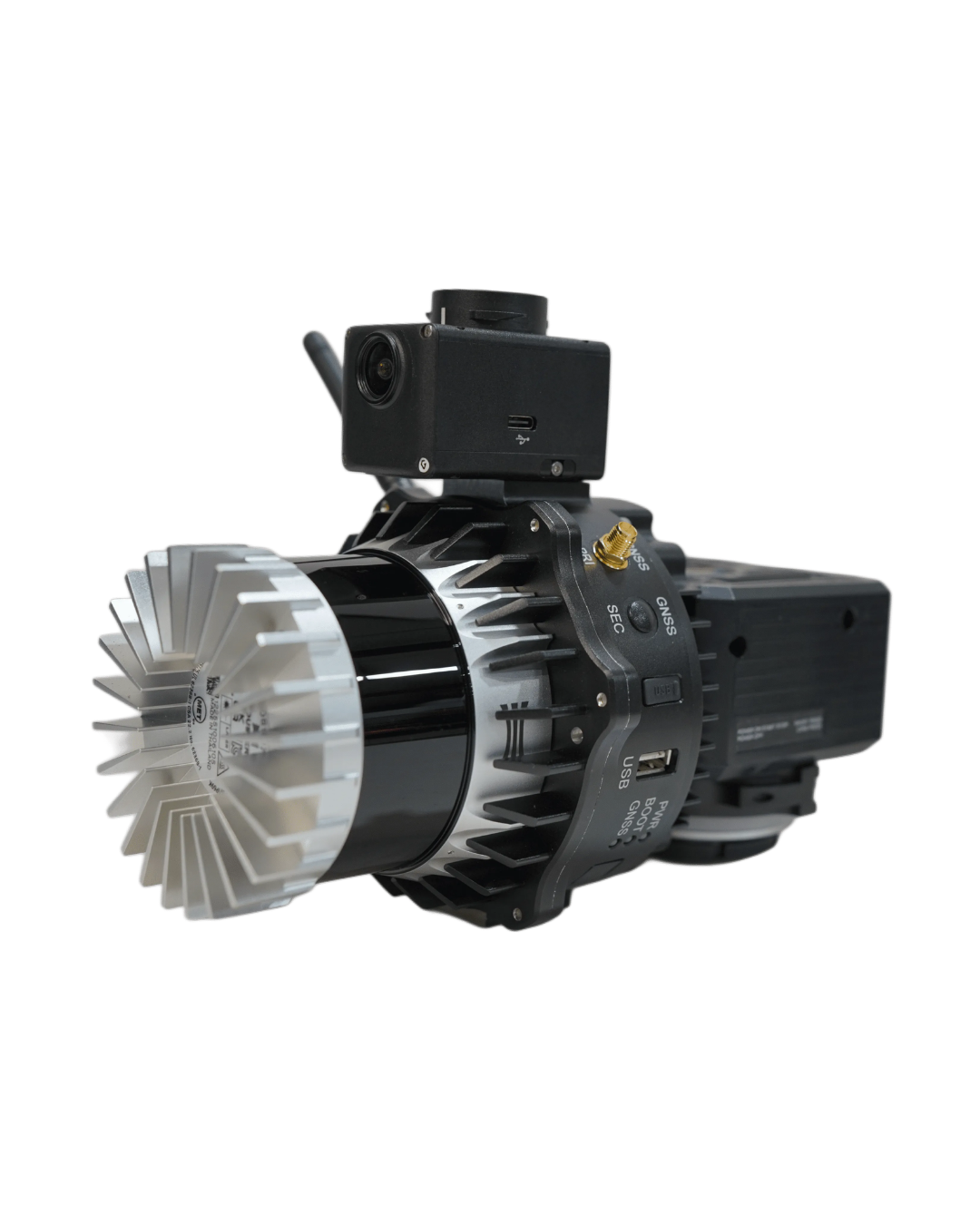
Generate accurate 3D models of utilities, industrial sites, and critical infrastructure for analysis and monitoring.
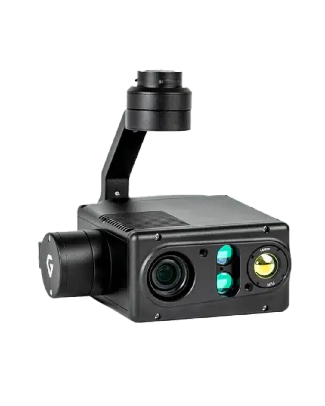
Deliver smooth, high-quality imagery and video for detailed inspections of structures, equipment, and hard-to-reach assets.
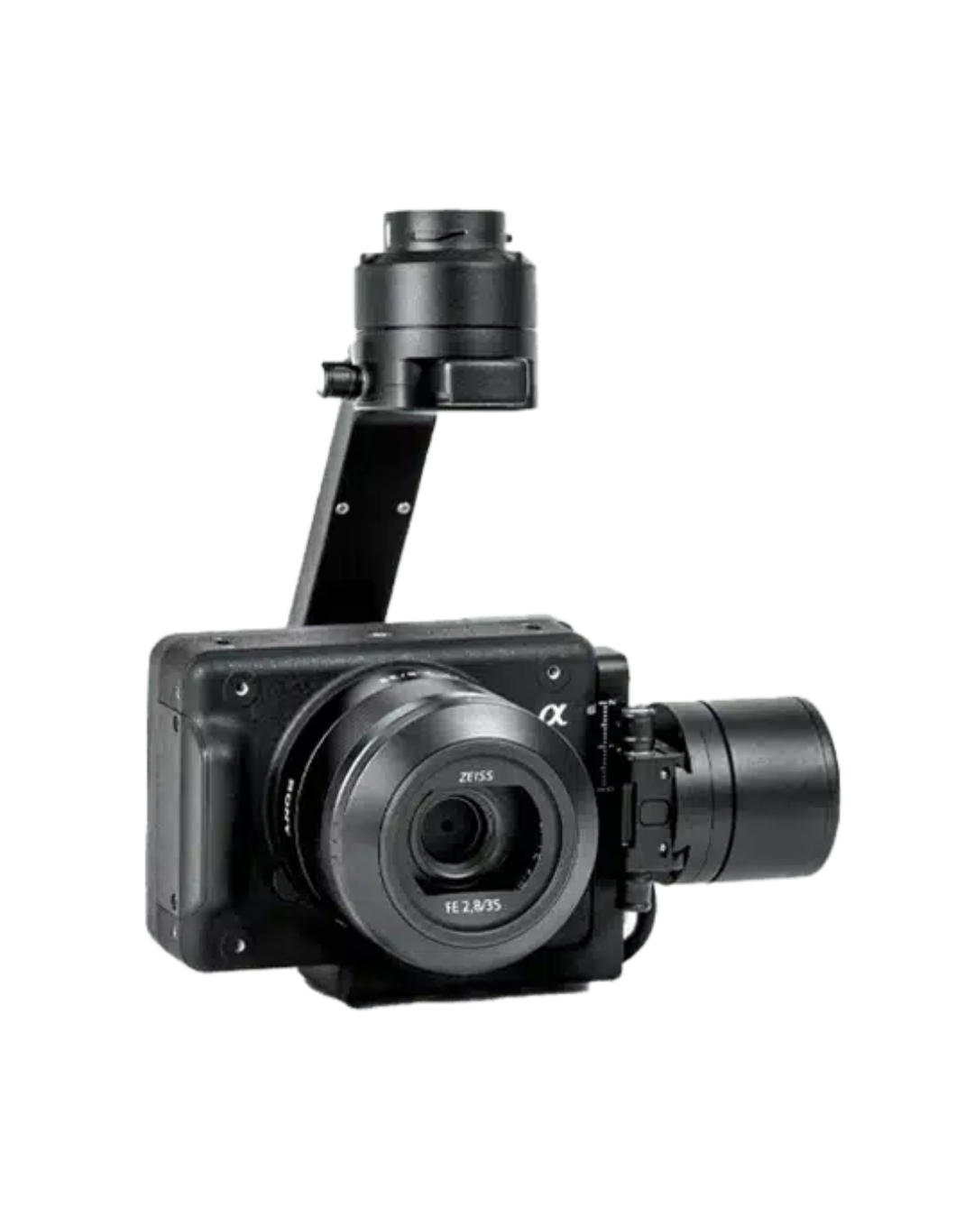
Capture detailed aerial imagery for visual inspections, documentation, and infrastructure reporting.
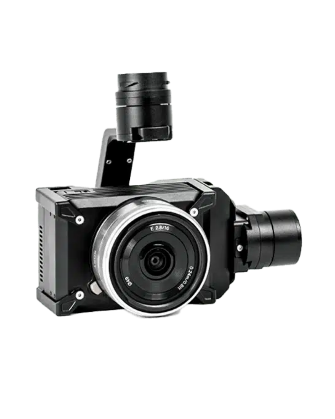
Collect reliable aerial data for infrastructure assessments, project tracking, and asset management.
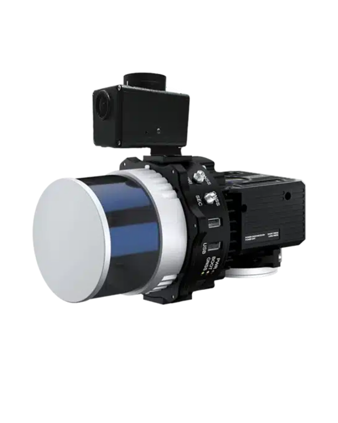
Quickly gather accurate terrain and structural data while maintaining efficient flight operations.
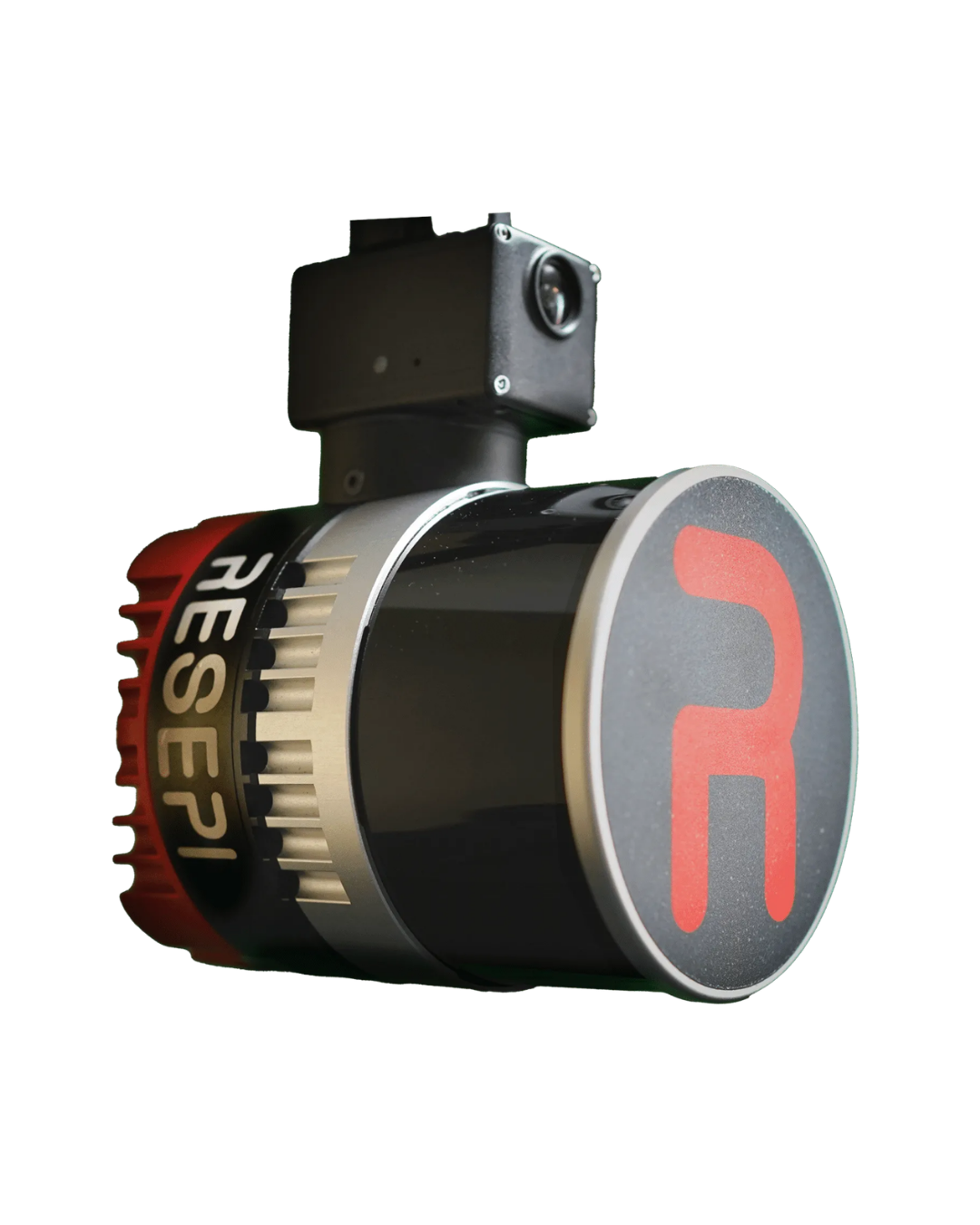
Produce dense point clouds and detailed 3D models for utilities, transportation corridors, and critical infrastructure inspections.
"The obstacle avoidance, that's a big ask for a lot of our customers to give them situational awareness and security when flying. The upgraded motors allow for higher lift capacity so we can start integrating more payloads. And the heating and cooling ability gives you security while out flying in hot and cold environments."
"It has got to be by far the active cooling system. We have so many customers that are out in that heat, and we know what that does to batteries. That's going to do nothing but improve efficiency and keep this up capturing more data."
Electric utilities: transmission, distribution, substations
Oil, gas, and pipeline inspection
Telecom and broadcast towers
Bridges and DOT assets
Refineries and heavy industrial facilities
SkyScout 2+ is NDAA-Compliant, Blue UAS Cleared, Green UAS Approved, and built in the United States.
Tell us what you're inspecting. We'll match the right payload and get you a quote.
Call 662-479-4362Answer a few quick questions and our team follows up with pricing and configuration.
Built in the U.S. Approved for regulated work. Ready to fly the day it lands.
Schedule a Demo