


SkyScout 2+ delivers centimeter-level positioning and real-time image tagging on every flight, with PPK available for teams that need the tightest post-processed accuracy. Built for surveyors who don't want to babysit the drone or the data.

 NDAA-CompliantAmerican-MadeGreen UAS ApprovedBlue UAS Cleared
Every SkyScout 2+ ships with RTK positioning and real-time image tagging standard. Add PPK for post-processed geotagging and sub-centimeter accuracy. Pair it with the Sony LR1 and you're covering ground faster, with deliverables your survey crew and your client will both sign off on.
Most platforms make you choose. SkyScout 2+ ships with RTK standard, so you get real-time positioning on every flight. PPK is available as an upgrade. Same drone, same airframe, stronger post-processing when the job calls for it. Your workflow doesn't change. The accuracy does.
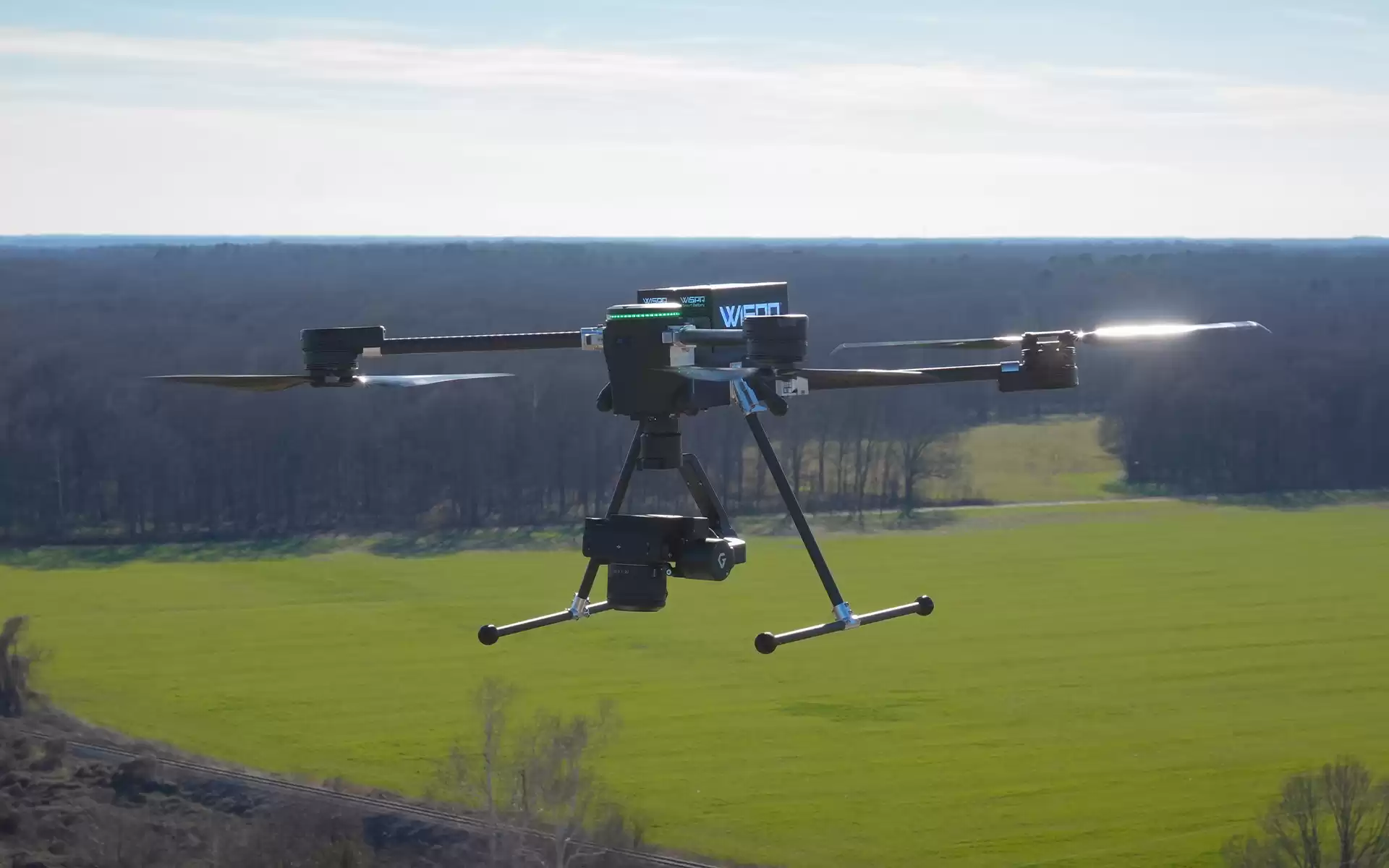
SkyScout 2+ carries the Sony LR1's 61MP full-frame sensor at altitudes that reduce flight lines and data volume without sacrificing ground sample distance. Fewer batteries swapped. Fewer SD cards to manage. Site data that still holds up on a second pass.
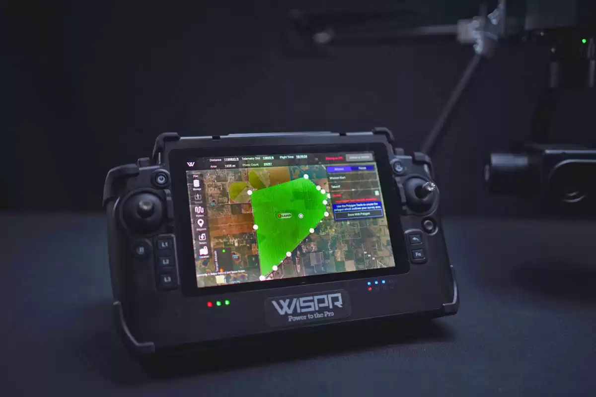
Set up in under three minutes. Fly the mission. Land with RTK-tagged images ready to pull into your processor. The time you used to spend on ground control and hand-shooting grades goes back into billable work, or into going home at a reasonable hour.
"A 5- or 10-acre track that used to take us all day to tie in the grades and get good control now takes about 20 minutes tops with the WISPR SkyScout instead of eight hours. I'll make that trade all day. I could have 10 guys out there shooting the same track all day long and still never get the detail I get with the SkyScout drone."
PathGuard obstacle detection and TerrainSense downward LiDAR keep flight lines clean and altitude consistent where GPS and barometers fall short. TempGuard holds the drone in spec in heat and cold. SignalShield protects avionics in rough RF. Every feature is here because it shows up in the data.
SkyScout 2+ is on the DCMA Blue UAS Cleared List and the AUVSI Green UAS Approved List. That matters when you're bidding work on federal sites, utility corridors, or any contract that's tightening on supply chain.
See Compliance Details"A 5- or 10-acre track that used to take us all day to tie in the grades and get good control now takes about 20 minutes tops with the WISPR SkyScout instead of eight hours."
"Pairing Sony's LR1 camera with the WISPR SkyScout 2 Series creates a powerful tool for real-world fieldwork, combining exceptional image resolution with efficient aerial coverage."
"We really like its sleek new features, a lot of new things it has, but what we really enjoy is the ability for it to collect data so quickly, so efficiently, and so accurately."
Boundary and topographic survey
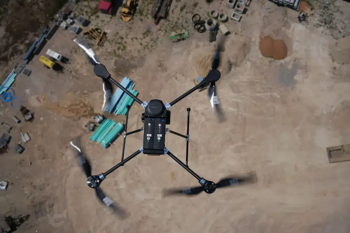
Construction site progress and earthworks
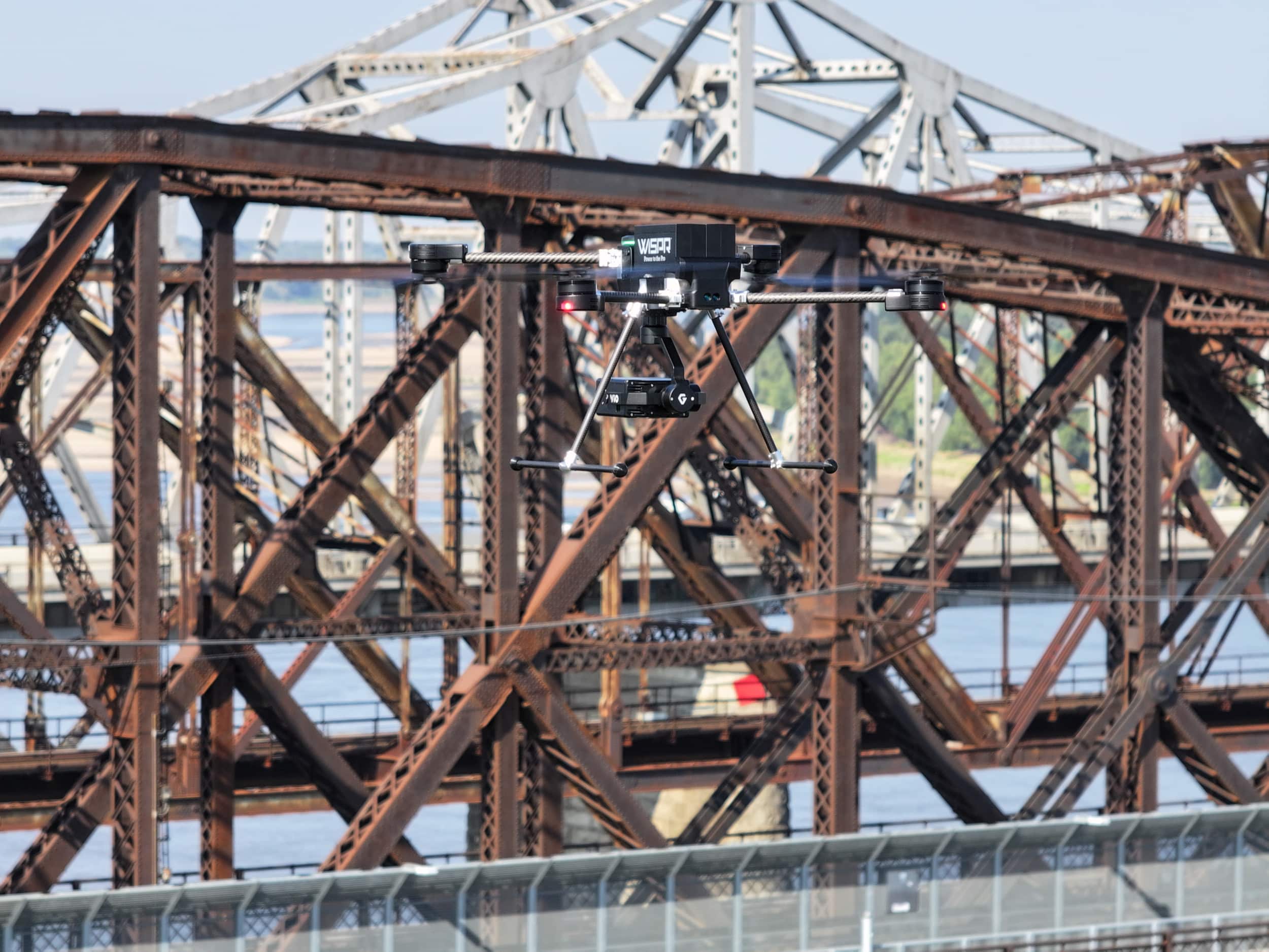
Corridor mapping (rail, road, utility)
Aerial photogrammetry
Agriculture and land management
Get a personalized quote or a live demo. Most field teams are flying within a week.
Call 662-479-4362Built in the U.S. Approved for regulated work. Ready to fly the day it lands.
Schedule a Demo